Shepherdstown WV
7 Day Forecast
For More Weather Information:
Tonight

Mostly
Cloudy
Saturday

Snow
Saturday
Night

Snow
Sunday

Chance
Freezing Rain
Sunday
Night

Slight Chc
Snow
Monday

Mostly
Sunny
Monday
Night

Mostly
Clear
Tuesday
Mostly
Sunny
Tuesday
Night
Mostly
Cloudy
Detailed Forecast
- Tonight Mostly cloudy, with a low around 6. Wind chill values as low as -6. Southeast wind 6 to 8 mph.
- Saturday Snow. High near 29. Wind chill values as low as -3. South wind 8 to 14 mph, with gusts as high as 23 mph. Chance of precipitation is 100%. New snow accumulation of 3 to 7 inches possible.
- Saturday Night Snow, mainly before midnight. Low around 27. South wind 5 to 10 mph becoming light southwest after midnight. Chance of precipitation is 80%. New snow accumulation of 1 to 3 inches possible.
- Sunday A chance of rain or freezing rain, mainly before 9am. Cloudy, then gradually becoming mostly sunny, with a high near 37. Light west wind becoming northwest 5 to 9 mph in the morning. Chance of precipitation is 30%.
- Sunday Night A slight chance of snow showers between 11pm and 2am. Mostly cloudy, with a low around 15. Northwest wind 9 to 16 mph, with gusts as high as 24 mph. Chance of precipitation is 20%.
- Monday Mostly sunny, with a high near 20.
- Monday Night Mostly clear, with a low around 6.
- Tuesday Mostly sunny, with a high near 29.
- Tuesday Night Mostly cloudy, with a low around 17.
- Wednesday Mostly sunny, with a high near 34.
- Wednesday Night Partly cloudy, with a low around 11.
- Thursday Partly sunny, with a high near 26.
- Thursday Night Mostly cloudy, with a low around 9.
- Friday Mostly sunny, with a high near 27.
<!– end of
–>
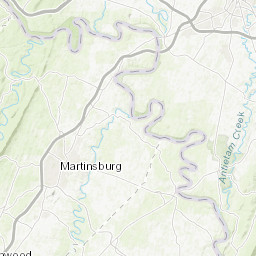
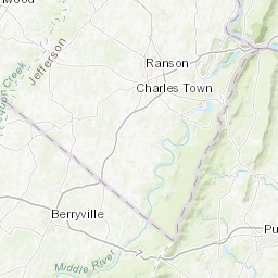
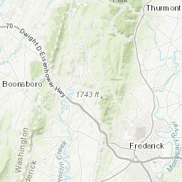
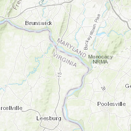
Click Map For Forecast
<!– end of
–>
&lt;center&gt;&lt;br&gt;&lt;br&gt;&lt;b&gt;Map function requires Javascript and a compatible browser.&lt;/b&gt;&lt;/center&gt;
VITA, Esri, HERE, DeLorme, Intermap, iPC, USGS, NGA, USDA, EPA, NPS |
+
–
<!– end of
–>
 Lat/Lon: 39.44°N 77.82°W Elevation: 466 ft
ABOUT THIS FORECAST
- Point Forecast: Point Forecast: Shepherdstown WV
39.44°N 77.82°W - Last Update: 8:56 pm EST Feb 20, 2015
- Forecast Valid: 10pm EST Feb 20,2015-6pm EST Feb 27, 2015Forecast Discussion


RADAR & SATELLITE IMAGES


HOURLY WEATHER GRAPH


